Dorset Heathlands 20th Century (part 4)
In the 20th century the heath gradually succumbed to the increasing pressures from agriculture, forestry and urbanisation. In 1919 the Forestry Commission were given the task to plant trees where ever they could, but by 1930s the traditional uses of the heath had greatly declined. The landscape was reduced to about 8000 hectares and was fragmented into over 100 sites.
Gravel, sand and clay were needed for more roads and buildings adding the heaths decline. When the scrub was no longer kept in check by grazing and fuel gathering, the birch and pine trees began to take over the landscape. During this time period bird and reptile numbers decreased by up to 85%.
 |
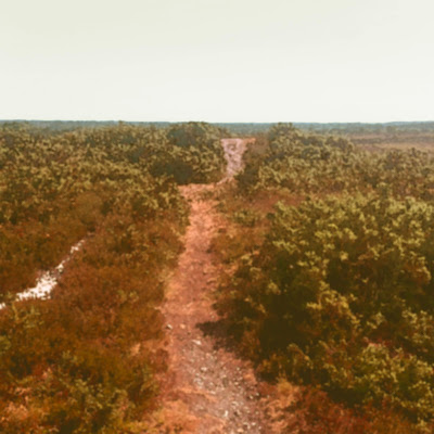
| Holt Heath |
The World Wars saw the firm establishment of two major military ranges at Povington and Bovington, the home of the Royal Armoured Corps and a major cordite manufacturing facility at Holton Heath.
Studland and Godlingston Heath were both used as rehearsal sites for the D-Day landings, including trials for duplex drive tanks, several of which still lie offshore as wrecks. Both of these sites are in part National Nature Reserves.
Studland and Godlingston Heath were both used as rehearsal sites for the D-Day landings, including trials for duplex drive tanks, several of which still lie offshore as wrecks. Both of these sites are in part National Nature Reserves.
By the late 20th century, additional pressures on the heathland included landfill in many of the worked-out sand, gravel and clay pits. Some large-scale open cast extraction of both ball clay and aggregates continued to change the landscape.
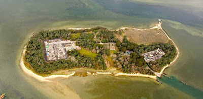
On Winfrith heath a nuclear power station was built although it has now been decommissioned. There is also the site of the UK’s largest onshore oil field at Wytch Farm on the south shore of Poole Harbour.
On Winfrith heath a nuclear power station was built although it has now been decommissioned. There is also the site of the UK’s largest onshore oil field at Wytch Farm on the south shore of Poole Harbour.
 |
| Wytch Farm |
By the early 1970s people were becoming more aware of the impact they caused on this landscape and started to protect what was left. Gradually groups and petitions were formed to save what was left of this important rural landscape.
The heathlands are very much part of Dorset history and if walked and read with a little knowledge, show traces of habitation and use for 4000 years. The wildlife and fauna create another layer to these places and contain a rare and rich eco system within it.
You can see from the map below the amount of heath lands left in Dorset. The black shapes reveal the amount left and the place name map reveal their largest extent.
 |
| Existing Heathlands shown in black |
What’s left of the Dorset heathland now has legal protection and dedicated volunteers to record and help save this valuable environment. Commoners rights still apply to some of the Dorset heaths for example Holt heath. They can sometimes be found by areas of heath where wild horses roam. For a full list of common ground search for “Database of registered common land in England.”
 |
| Current extent of Dorset heathlands. Areas marked by red outlines. |


No comments:
Post a Comment