A walk to locate an ancient Yew tree about 1750 years old in Lytchett Matravers in Dorset.
(50°45'45.4"N 2°05'17.9"W) Walk starts at Colehill Road
(50°45'54.0"N 2°05'32.7"W) St Mary the Virgin Church
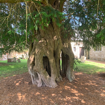
(50°45'54.7"N 2°05'32.9"W) The Yew tree (circa 280 A.D.)
Bronze Age Walks are a collection of short, filmed walks with maps defining ancient sites.
(50°45'45.4"N 2°05'17.9"W) Walk starts at Colehill Road.

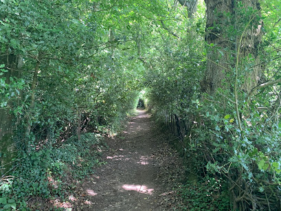
Then the walk gets steeper towards a bend. The last time I went it was dry but I do remember that it can get muddy after heavy rain. At the bend is a seat looking towards the church.
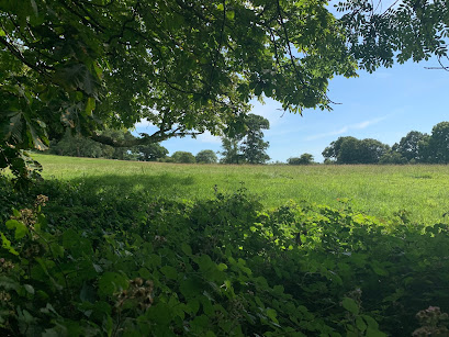
From here the walk becomes shallower and starts to open out into fields.
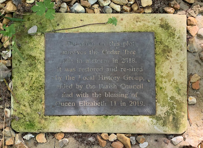
On the left is a fenced cutaway celebrating a tree that was planted in 1938 and blown over by a storm in 2018. This was marked by a two plaques showing the dates. It is clear that the people of Lytchett have a relationship to their trees!
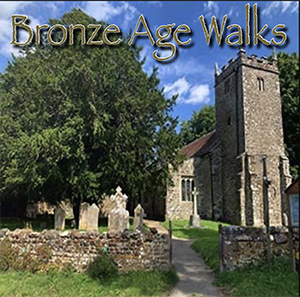
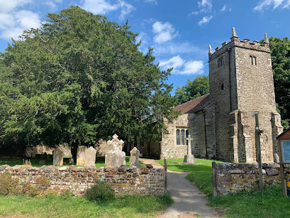
As you walk down past through the graveyard and past the church to the west side you will find the two yews. The closest to the gate is the oldest.
In the churchyard, just outside to the west is a yew tree that in the 1980s was dated to be at least 1,700 years old. Its location here next to the church suggests the spot has been a holy place since before the current church was built.
HISTORY
Lytchett Matravers was recorded in the Doomsday book of 1086 where it was part of the Cogdean Hundred. The Hundred refers to an administrative division of a larger geographical area.
In 1066 a Danish lord called Tholf held the Manor of Lytchett but after the Norman invasion it was granted to Hugh Maltravers whose family held the area for the next 300 years.
Around 1200 The Church was built by the manor possibly during the crusades when the knight would have been in absence. Within the churchyard are two Yew trees one of which turned out to be 1700 years old.
This would make the tree in place some at 280 AD nearly 1000 years before the church was built. WIKI REF: Lychett Matravers Yew Tree.
Please take a look at the video
It is possible that Sir Walter Maltravers ordered the church to be built beside the manor house during a crusade in his absence around the year 1200. Next to the church are two large yew trees. One of which was dated in the 1980s to be at least 1700 years old.
Bronze Age Walks
Bronze Age Walks with an iPhone are a collection of short, filmed walks with maps defining ancient sites. The emphasis is on Neolithic, Bronze Age and Iron Age because I find them a good lodestone for a walk.
The walks are usually not a great distance so you don’t have to be super fit to do them. In fact Bronze Age Amble would work. They largely stick to recognisable paths but it is probably a good idea to protect your legs a bit as gorse can be fairly prickly and common in places.
Bronze Age Walks
Cannon Hill 3 Bronze Age Barrows
Summerlug barrow and hill - Holt Heath - Wimborne - Dorset
Bronze Age Walks-Bee-Garden-Holt-Heath
Bronze Age Walks The Oldest living inhabitant in Dorset
Dorset heathland
Part 1 Part 2 Part 3 Part 4


No comments:
Post a Comment