Holt Heath is a Nature Park North of Wimborne Minster in Dorset.
Summerlug barrow (50.8430860, -1.9038620)
Summerlug hill (50.8426202, -1.9040965)
Parked at map ref (50.8436743, -1.9082170)
Please take a look at the video
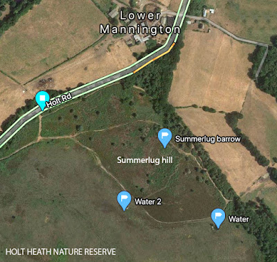 |
| Map of Summerlug Hill |
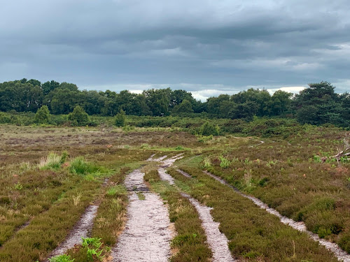
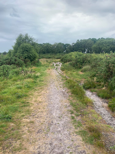
Walk from the entrance till you meet the main path and turn left. Keep walking until you come to a fork in the path. I went left around the north of the hill. You can go left or right here it doesn’t really matter, as it’s a circular walk.
The views give a good panorama of Holt heath. Following the path back up the west of Summerlug hill you meet up with the start of the walk and you are pretty close to the entrance again.
HISTORY
Possibly the three barrow marks a boundary of land ownership but as this is near the edge of the current heath boundary it is difficult to decide. To the North West is another barrow so it seems likely that these two would be related to each other. As with most heathland the landscape has remained largely unchanged for 3000 + years.
ABOUT BRONZE AGE WALKS
Bronze Age Walks with an iPhone are a collection of short, filmed walks with maps defining Bronze Age sites. The emphasis is on Neolithic, Bronze Age and Iron Age because I find them a good lodestone for a walk.
The walks are usually not a great distance so you don’t have to be super fit to do them. In fact Bronze Age Amble would work. They largely stick to recognisable paths but it is probably a good idea to protect your legs a bit as gorse can be fairly prickly and common in places.
Bronze Age Walks
Cannon Hill 3 Bronze Age Barrows
Summerlug barrow and hill - Holt Heath - Wimborne - Dorset
Bronze Age Walks-Bee-Garden-Holt-Heath
Bronze Age Walks The Oldest living inhabitant in Dorset
Dorset heathland
Part 1 Part 2 Part 3 Part 4
Historic England Maps and information.
https://historicengland.org.uk/listing/the-list/list-entry/1015999



No comments:
Post a Comment